Get Around
Explore the City of Brotherly Love with ease.
Philadelphia is one of the most accessible cities in the United States. Located perfectly between two major hubs, it is only:
- 100 miles south of New York City.
- 133 miles north of Washington, D.C.
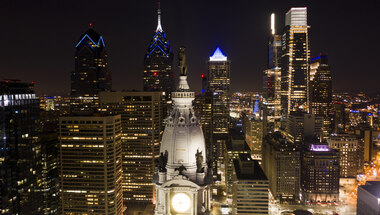
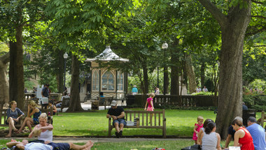
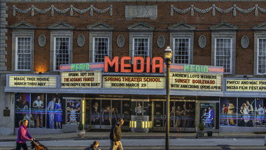
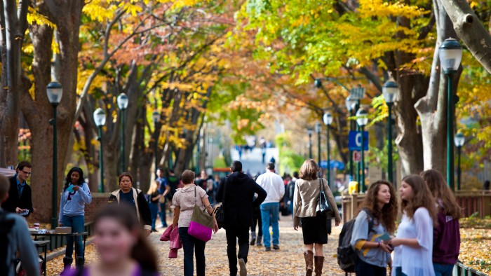
Once you arrive, getting around is simple. Voted America’s Most Walkable City, Philadelphia is easy to navigate, with a world class public transit system.
A History of Convenience
Philadelphia’s prime location is part of our history.
- The Original Inhabitants: Long before European settlers arrived, the Lenape people lived here. They called the Fairmount Park area Nitapèkunk, which means "Place that is easy to get to."
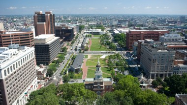
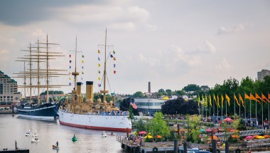
- A Planned City: In the 1680s, William Penn chose this location because it was perfect for travel along the Delaware River.
- The Grid Layout: Penn designed the city using a simple grid pattern, a legacy that makes Philadelphia green, open, and easy to explore.
Getting to Philadelphia:
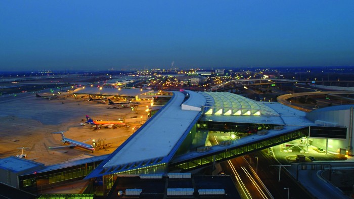
From the Airport
Located just seven miles from downtown Philadelphia, Philadelphia International Airport is easily accessible from Interstates 76, 95, and 476.
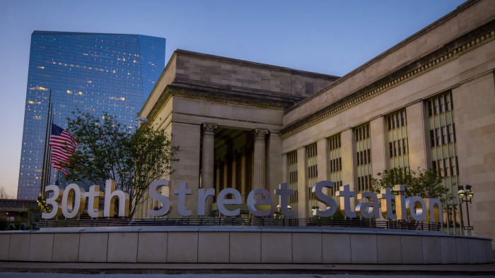
By Train
30th Street Station is a major intercity rail transit hub. Located between Center City and West Philadelphia, it provides connections to Amtrak, NJ Transit Rail Service, and all SEPTA Regional Rail Lines.


Getting Around the City:
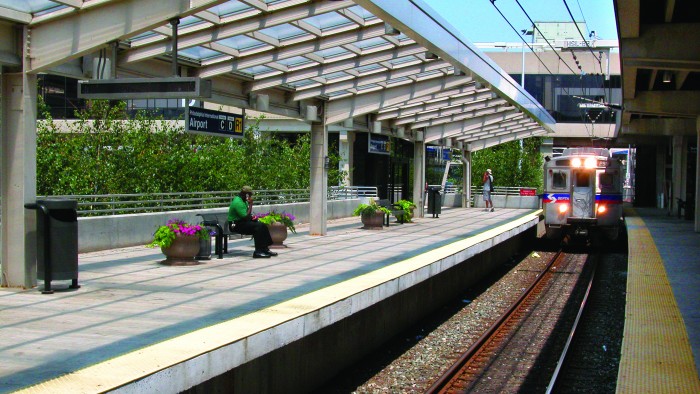
On Public Transit
SEPTA offers a vast selection of routes on many modes of public transit, including: buses, trolleys, subways, and regional railways. In 2018, SEPTA debuted a re-loadable plastic card for fares, the SEPTA Key, available for purchasing and reloading at the Independence Visitor Center.
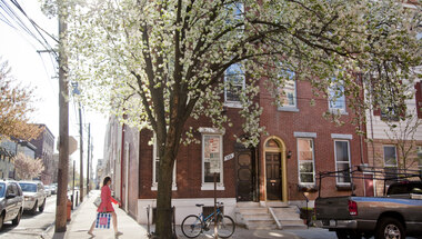
On Foot
Voted the most walkable city in the nation, Philadelphia features tree-lined streets and neighborhoods that make exploring on foot the perfect way to see the City of Brotherly Love. Stop in for a map of the city and ask us any question you have about getting around.
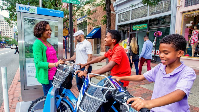
On Bike
Get around Philadelphia on two wheels is even easier with the city’s bike sharing program, Ride Indego, which has 1,000's of bicycles available at 125 stations throughout the city, including one located right outside Independence Visitor Center at 5th and Market Streets.